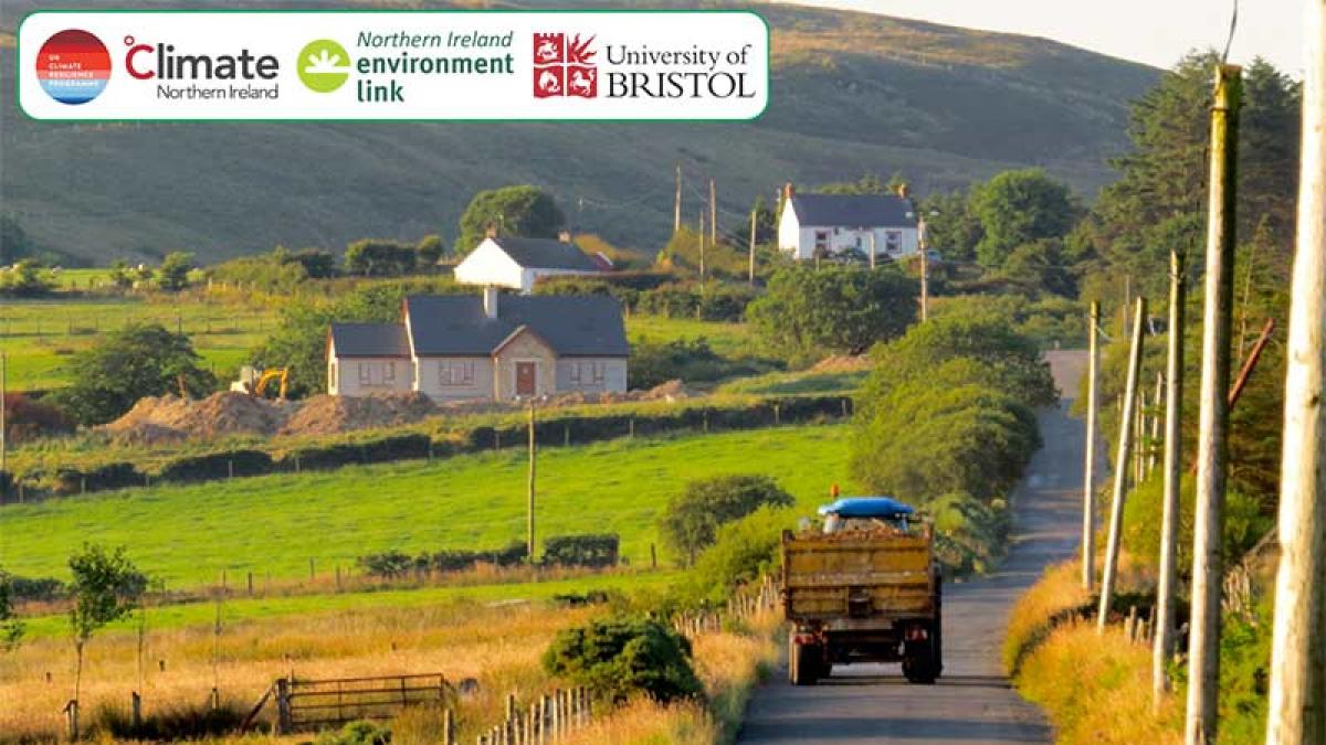
Northern Ireland Rural Heat Map

Online app to help understand where and by how much summer temperatures may increase in areas of Northern Ireland
Climate Northern Ireland has launched an online app for mapping summer heat risk for use by Northern Irish rural communities to understand where and by how much summer temperatures may increase.
Northern Ireland has experienced a number of major summer droughts and heatwaves in recent years. These have had a range of impacts including a hosepipe ban, travel disruption and increased wildfires.
Using data from the Met Office’s UK Climate Projections 2018, a number of different graphics can be produced. These include downloadable maps of hot summer temperatures – showing where these exceed certain levels or ‘thresholds’ – and graphs showing how the number of hot days and nights will change in the future for a given postcode in Northern Ireland.
Temperature thresholds can be adjusted by the user, so graphics can be compared to other products such as the Met Office’s Belfast Heat Pack (PDF, 4.59MB), which gives several examples of how infrastructure and health can be impacted above certain temperatures.
Tools such as this heatmap can inform business planning around adapting to climate change.
Find out more about the Northern Ireland Rural Heat Map.
First published 22 July 2022